Africa
Conflict over water

When the colonial powers defined African borders in the late 19th century, they either used a ruler or followed the courses of rivers and lakes. Most of those borders still apply today. Because many colonial maps are imprecise, however, there is considerable uncertainty over where exactly the dividing lines run.
Currently, the Omo river is an example of just how complex the mesh of interests in a transnational water body can be. It rises in Ethiopia and flows 760 kilometres to the Kenyan border, where it feeds Lake Turkana. The lake largely depends on the inflow from the Omo, and its water level has been falling in recent years because of more farm irrigation on the one hand and more evaporation due to climate change on the other hand.
People living around Lake Turkana are worried because Ethiopia is building a 240-metre dam on the upper course of the Omo. Several smaller dams are operational already. Large volumes of water will evaporate from the new Gibe III reservoir‘s 200-square-kilometre surface, and irrigation will further diminish the resource, so less water will flow into Lake Turkana. The World Bank and the African Development Bank have refused to support the dam project for this reason – and they even warn of environmental and social harm in Ethiopia.
The dam will be built nonetheless. China has stepped in to provide technical and financial support.
Kenya’s government is ambivalent about the project. On the one hand, it has concerns about the environmental impacts; on the other, it has struck a major power-supply deal with Ethiopia, hoping to reduce shortages in Kenya. Obviously, Ethiopia cannot supply electric power without the turbines at Gibe III generating it.
Pitted against the project are social and environmental groups in both of the countries concerned. But it seems unlikely that they can prevail against the massive economic interests vested in it.
The Nile is another example of an international water body giving rise to political tensions. From Tanzania to Egypt, this river and its numerous tributaries flow through 11 African countries. Egypt depends on the Nile for more than 90 % of its water needs, so it gets worried when it sees countries like Ethiopia using more and more Nile water to increase agricultural output and to supply drinking water to a growing population.
Egypt points to treaties that were signed in 1929 and 1959 and grant it the lion’s share of Nile water. But the only countries that were party to those treaties were Egypt and Sudan. The other riparian states argue that they are not bound by them.
Such conflicts can be defused by international cooperation. Meaningful measures include:
- switching to more efficient irrigation technology,
- promoting sustainable rain-fed agriculture,
- avoiding the cultivation of particularly water-intensive crops,
- reducing water use in urban areas and industry, and
- managing wastewater more responsibly in order to avoid groundwater and surface water contamination.
What is obviously needed is cross-border cooperation based on mutual trust. The “Nile Basin Initiative” is meant to promote this cause. Since 1999, ten Nile countries have been cooperating to manage the river’s water resources. Like a number of similar projects elsewhere in Africa, the venture is supported by Germany (see box below). However, the urgency of the problem must not be underestimated.
Disputes over lakes
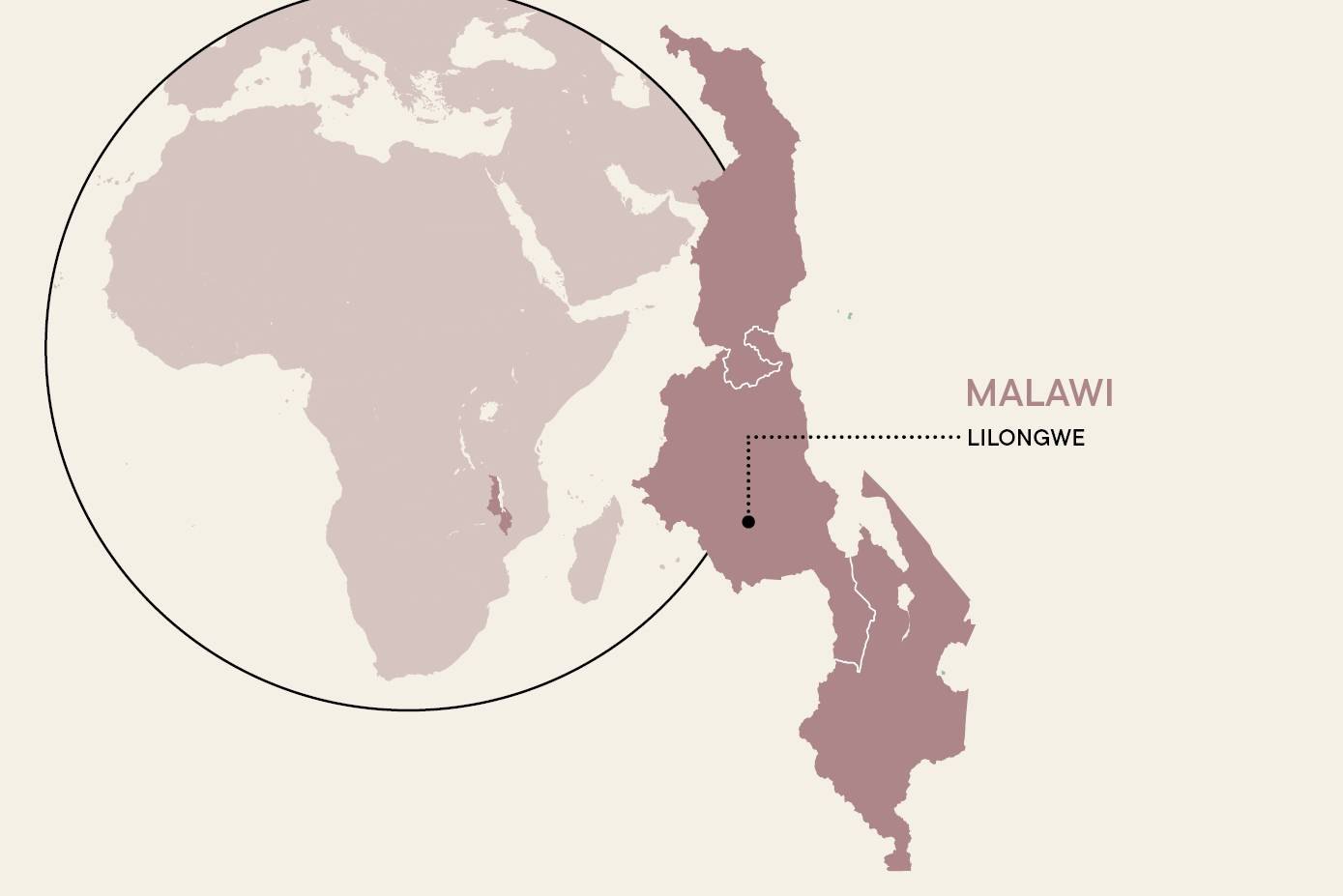
Rivers are not the only source of riparian conflict. Africa also has a number of lakes that have two or even more states on its shores. These lakes matter for food security and economic development. Accordingly, water use and border demarcation are very sensitive issues. A recent example is the row between Tanzania and Malawi over the border they share in the north of Lake Nyasa. According to the map drawn up in colonial times, the entire northern section of the lake belongs to Malawi, the successor to the colonial protectorate of Nyasaland. Tanzania, however, citing the 1982 UN Convention on the Law of the Sea, claims that the international border runs along the middle of the lake.
The border issue has thus far remained unsettled. To underline its claim, Malawi now calls the body of water Lake Malawi. In 2011 and again in 2012, the dispute intensified when Malawi granted licences to international companies to search for oil and gas in the lake.
At the end of 2012, both sides agreed to ask the Africa Forum of former African heads of state and government to arbitrate. In April 2013, however, Malawi backed out of the agreement and turned to the International Court of Justice instead. The main victims of this time-consuming dispute are the fishermen of both countries, who do not know where they are free to cast their nets.
International conflicts have also flared up around Lake Chad, parts of which belong to Nigeria, Cameroon, Niger and Chad. The surface of the lake has shrunk by more than 90 % in the past few decades because of reduced inflows, more irrigation farming and more evaporation due to global warming.
When Nigerian farmers settled on land left dry by receding Cameroonian waters, Cameroon appealed to the International Court of Justice and had its case upheld in 2002. The Nigerian settlers had to vacate the newly built villages. Today, the four riparian states collaborate constructively to preserve the lake and its surroundings in the Lake Chad Basin Commission.
Thousands of kilometres away, disputes are driven by the falling water level in Lake Victoria. Once more, the main reasons are extraction for agriculture and evaporation. In Kenyan and Tanzanian eyes, however, the problem is compounded by the fact that Uganda uses a great deal of lake water to run two hydroelectric plants at Owen Falls and Bujagali on the Nile.
In the past, water flowed out from the lake down natural rapids. Since the construction of the two power plants, however, Uganda has been suspected of harnessing too much water to generate its much-needed electricity. Today, water levels sometimes sink so low that ferries can no longer reach piers and fish have no access to spawning grounds. A complex conflict of interests is building up. It will not be easy to resolve.
Positive examples
The good new is that there are several examples of African rivers and lakes forging bonds between neighbours. One positive case is the more than 1,300-kilometre-long Okavango. In 1994, the three countries concerned established the Permanent Okavango River Basin Water Commission (OKACOM). The river rises in Angola, flows along the Namibian border and drains into the desert in Botswana. Through OKACOM, the three governments have assumed joint responsibility for ensuring that the river and its waters are sustainably managed.
The Okavango’s inland delta is one of the most ecologically diverse areas in Africa. Around 1,300 plant and 70 fish species are found here. Without the fragile balance of inflowing river water and water loss through evaporation and seepage, the delta would quickly dry up. Rising temperatures and increasingly extreme weather conditions are likely to put the Okavango ecosystem under pressure. Therefore, a prudent policy to prevent a marked reduction of water inflow is most welcome.
Africa‘s coastal waters are also in need of protection since the impacts of pollution and overfishing are serious. It was encouraging, therefore, to see South Africa, Namibia and Angola teaming up in an impressive display of cooperative responsibility earlier this year. On 18 March 2013, they signed the Benguela Current Convention.
The Benguela Current is a cold Southern Atlantic current that flows along the coasts of Namibia and Angola from the Cape of Good Hope. A rich marine ecosystem is located where it hits warm water flowing south from tropical zones. However, that area is under considerable environmental pressure due to shipping routes, commercial fishing, Angolan offshore oil production and Namibian coastal diamond mines.
A new, supranational commission has the mandate to promote the long-term protection, rehabilitation, enhancement and sustainable use of the area. For this purpose, laws are to be harmonised and fisheries will be supervised in joint action.
That this agreement has come about is particularly remarkable in view of the high stakes for all participating countries. Angola, for instance, relies on oil and gas exports for 98 % of government revenues – and most production sites are on the coast and in coastal waters. Environmental constraints can have serious economic consequences for all three countries, so allowing an intergovernmental body to take relevant decisions was a sensitive issue.
Frank Kürschner-Pelkmann is a freelance journalist who specialises in international water issues and environmental affairs.
frank.kuerschner-pelkmann@t-online.de